


8.5 km | 15.9 km-effort

Les Hautes Alpes à découvrir ! GUIDE+


FREE GPS app for hiking
 SityTrail
IGN / Geographical institutes
SityTrail World
The world is yours!
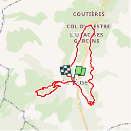
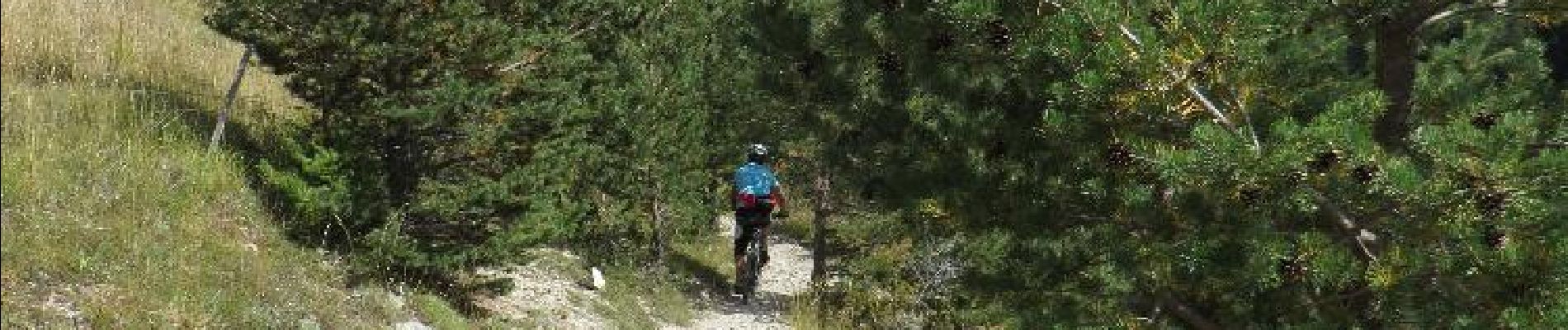
Trail Mountain bike of 18.9 km to be discovered at Provence-Alpes-Côte d'Azur, Hautes-Alpes, Le Dévoluy. This trail is proposed by Camping Les Rives du Lac.
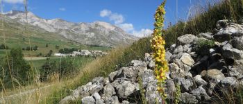
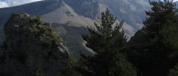
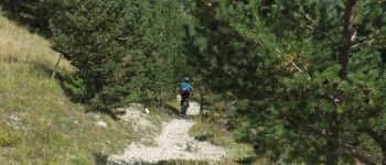
Nice circuit not very long but quite technical.Departure of the Cluse.Montée with the pass of the Festre by a pleasant and rolling road of forest, descent on the Cluse by a superb single track with beautiful pins at the end. on a beautiful forest road. New single long enough and very player. Some delicate passages.Follow the circuit 11 of "Espace VTT-FFC Dévoluy. "


Walking

Walking

Walking

Walking
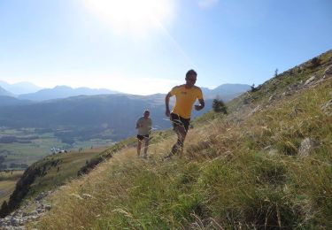
Running
Walking

Walking
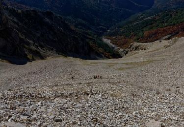
Walking

Walking